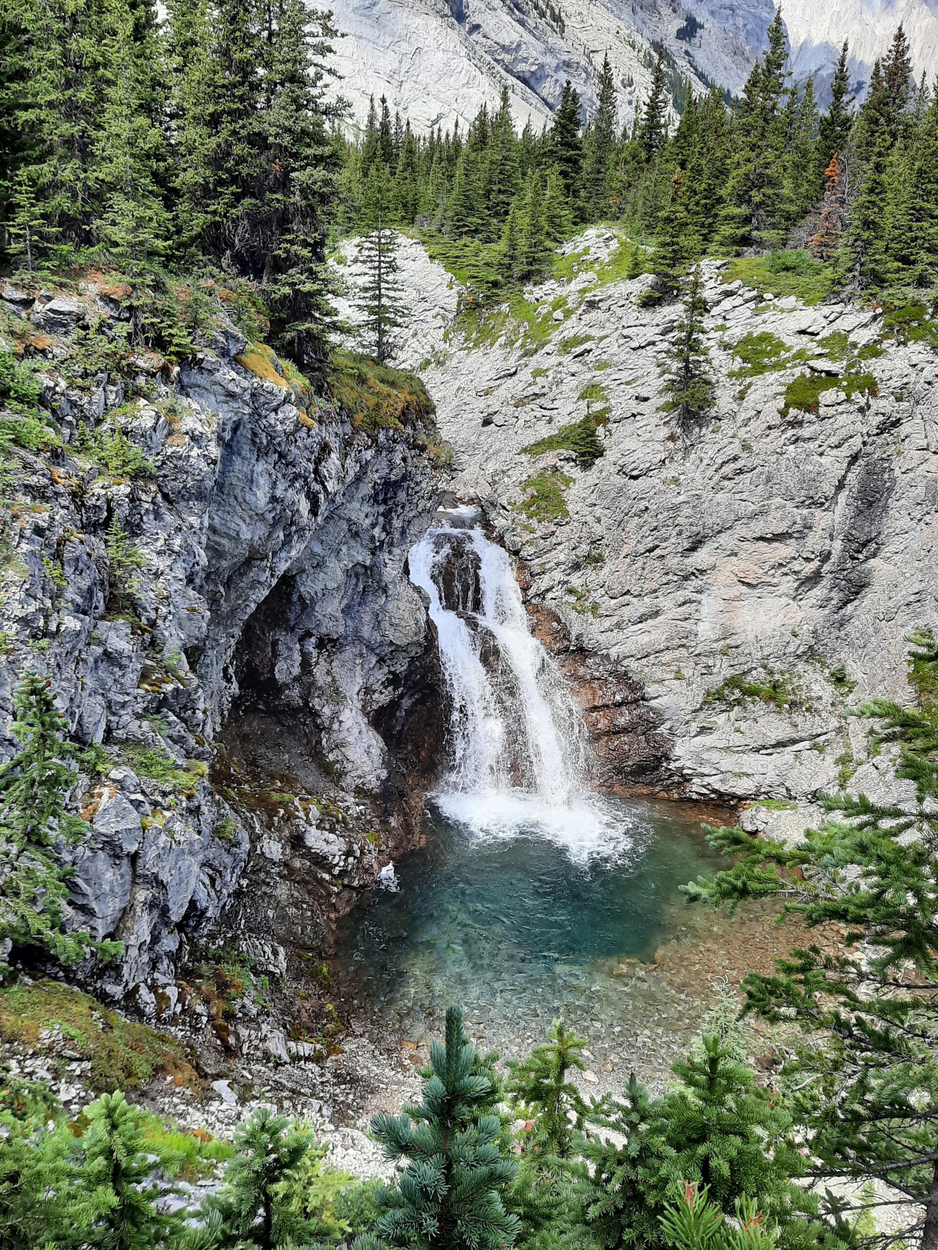
In late August above Lake Louise, the air can feel stable and warm at the trailhead while high clouds begin stacking quietly over the Waputik Icefield. This is often where hiking guides begin reading weather, not when rain starts, but when subtle patterns shift long before most people notice.
Weather literacy in the Rockies does not begin on the trail. It begins days earlier.
Reading Weather Starts Before the Day Begins
Before any guided hike, I am looking at multiple forecasting models, not a single app. Elevation-specific forecasting tools are useful because they show conditions higher in the mountains rather than only general valley-floor forecasts. A 14°C forecast in Banff townsite does not tell you what 2,300 metres on an exposed ridge will feel like.
When reviewing forecasts, I compare:
-
GFS and ECMWF trend agreement
-
Wind direction and speed at elevation
-
Freezing levels
-
Cloud base height
-
Precipitation timing windows
-
Pressure trends
Model agreement matters. If multiple forecasting systems show instability developing earlier than expected, that increases the probability of a real shift. If one model shows storms and the others do not, that tempers interpretation.
Mountains reshape weather. Orographic lift, valley channeling, and microclimates distort broad predictions. Forecasts provide probability. Experience provides context.
The real work is in blending both.
Summer Example: A Subtle Shift Before Noon
One July morning along the Icefields Parkway, I was guiding two active adults toward an open alpine bench. The forecast had called for stable conditions until mid-afternoon, with only a 30 percent chance of thunderstorms.
The morning was calm. Clear light. No immediate threat.
But by 9:45 a.m., vertical cloud growth was building faster than projected. The cloud tops were beginning to tower instead of layer. Wind at ridge height shifted slightly west earlier than expected.
Nothing dramatic.
This is where how hiking guides read weather separates from casual observation.
This is part of a broader pattern in how guides read the landscape. What Hiking Guides Notice in the Canadian Rockies explores that more fully.
Instead of continuing toward a more exposed objective, I adjusted our high point to a lower ridge with multiple exit options. We still reached alpine terrain. We still had expansive views. The pacing remained steady.
By early afternoon, thunder was echoing deeper in the corridor.
Most guests would have said, “Good thing the storm came later.” From my perspective, the key decision happened three hours earlier when the day’s structure changed quietly.
Weather decisions rarely feel heroic. They feel preventative.
What Most People Misjudge
Visitors often assume weather decisions happen when rain starts or lightning appears. In reality, they happen when:
-
Cloud build begins earlier than forecasted
-
Wind direction shifts at elevation
-
Humidity increases subtly
-
Temperature drifts outside predicted trend
-
Light quality flattens ridgelines
Waiting for obvious signals compresses decision space.
Early adjustments preserve margin.
This is the same philosophy at work throughout mountain guiding: anticipation shapes the day before pressure builds.
Weather and Energy
Weather influences energy long before it influences safety.
Rising humidity makes steady climbs feel heavier. A 5-degree temperature drop at elevation changes hand dexterity and shoulder tension quickly. Increasing wind exposure alters pacing rhythm.
Reading weather also means reading people.
When I notice shorter responses, heavier foot placement, or a subtle push-through energy as clouds build, I may:
-
Insert a seated break before strain accumulates
-
Prompt hydration earlier than necessary
-
Adjust pace to preserve the final hour
-
Reconsider exposure relative to atmospheric instability
These changes are incremental. They protect the day without making weather the focus of the day.
Winter: A Different System Entirely
Winter changes the entire equation.
On a February snowshoe day near Lake Louise, the sky was clear and the forecast looked stable. But winter weather is not just about precipitation. It is about snowpack structure, wind transport, freeze–thaw cycles, and radiational cooling.
The freezing level had risen slightly the previous afternoon before dropping sharply overnight. That combination often creates surface crusts in shaded forest and variable traction in open areas. Wind speeds at ridge height were predicted to increase mid-morning.
Instead of choosing a more open, wind-exposed route, I selected a forested objective with sheltered breaks and limited overhead hazard. We adjusted traction strategy early and kept elevation moderate.
By midday, wind chill at exposed ridges was significantly colder than forecasted.
In winter, reading weather also includes:
-
Avalanche bulletins
-
Snowpack stability trends
-
Wind loading patterns
-
Freeze–thaw transitions
-
Daylight compression
A winter day can look beautiful and still carry complex variables. The goal is not to eliminate risk. It is to understand accumulation.
I explore this more fully in Hiking Risk in the Canadian Rockies, but weather is often the quiet variable underneath both.
Why Multiple Sources Matter
Mountain forecasts are models. Terrain reshapes models.
Using tools like Windy.com and Mountain-Forecast provides:
-
Elevation-specific data
-
Wind overlays
-
Pressure trends
-
Precipitation timing
-
Cloud development patterns
Comparing models allows for pattern confidence. But even the best forecasting tools cannot replace corridor-specific experience.
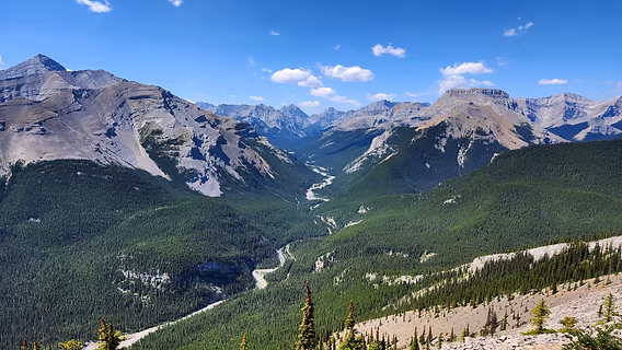
Certain valleys in the Bow Valley accelerate wind differently. Some Icefields Parkway corridors build convection earlier than expected in summer. Shaded forest in spring can hold ice long after valley floors feel like summer.
Those seasonal transitions shape hiking conditions across the entire region. For a broader look at how the year unfolds across Banff, Lake Louise, Jasper, and the Icefields Parkway, see When Is the Best Time to Visit the Canadian Rockies.
Weather literacy is pattern recognition layered onto data.
This same awareness often shapes how a full day in the mountains is structured. For a broader view, see How to Plan a Trip to the Canadian Rockies.
Calm Days Are Built Early
The most successful mountain days rarely feel weather-driven. They feel steady.
That steadiness usually comes from decisions made before anything becomes obvious. That is also part of How Good Guiding Holds Risk Quietly, long before guests need to think about it themselves.
How hiking guides read weather is not about predicting the future perfectly. It is about preserving decision space.
It is about recognizing when timing shifts.
When instability builds earlier than expected.
When winter surface conditions change the character of a route.
When wind alters pacing before anyone names it.
A calm day in the Rockies is rarely accidental. It is structured quietly, long before the sky changes color.
Certified private hiking guide and professional interpretive practitioner based in the Canadian Rockies. With over 25 years of four-season mountain experience, she offers thoughtfully paced hiking experiences that help active adults explore mountain landscapes with care, confidence, and understanding. Meet Niki